


このアプリのYoutube動画がある場合はURLを送信してください。詳細 »
APPLICATION INFO - iPhoneアプリの詳細情報
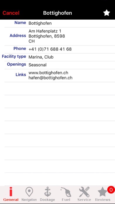
MapiTech launches on the market the best official up-to-date NOAA RNC (raster) combined with S57 nautical charts (digital): marinas, wrecks, fishing spots, boat ramps, POI.
This app displays seamlessly the beauty of NOAA paper charts, a "look and feel" experience combined with S57 data.
You will be impressed how appealing the raster charts look, how easily you pan and zoom and ..there's much more you will like about Mapitech App.
The interactive menu is very intuitive, the maps are downloaded to the device itself, it works in OFFLINE mode. No need of Internet connection.
Chart details and performances of a professional GPS chart plotter at a minimal cost.
At glance:
•It works without mobile coverage (OFFLINE)
•Powerful search
•Multiple overlays for different use (fishing, sailing or cruising)
•ActiveCaptain community integration
•KML data shareable
•Very detailed and updated charts
•Waypoints
•Markers & Favorites
•Multiple tracks: Record your track, instant speed time, COG - course over ground
•Geo - tagged photo management
•Distance measure
•Compass
•GPS window with very detailed info
•User friendly on latest iOS
▶ What’s New :
Topo Overlay added
Improved Compass
Enhanced Navigation Window
Chart update
Join the Captain community of 100.000+ boaters who write review and provide updated hazard info. Must have for all boaters!
Continued use of GPS running in background can decrease battery life. This only applies if background recording is enabled.
カテゴリー
ナビゲーション
ナビゲーション
リリース
2016/6/4
2016/6/4
更新
2018/1/20
2018/1/20
バージョン
5.0
5.0
言語
サイズ
93.5 MB
93.5 MB
条件
このバージョンの新機能
Chart Update
Chart Update
スクリーンショット
MapITech の他のアプリ » もっと見る
» 目的別iPhoneアプリ検索
- 辞書 » 日本語対応の辞書 » 英和辞典
- 学習 » 英単語 » 英会話 » クイズで楽しく
- スケジュール » 管理 » Googleカレンダー


CatchApp新着アプリレビュー
 日本縦断てつどうの旅」")
様々な楽しみ方で運転士として成長していく鉄道運転士育成RPG「プラチナ・トレイン(プラトレ) 日本縦断てつどうの旅」
2016-05-17 00:00

日本語にはない英語発音のリスニングを楽しく学べる「発音どっち?英語リスニング 」
2014-12-20 12:00

指先の瞬発力が試されるカジュアルゲーム「早撃ちパニック」をリリース!
2014-12-08 15:21
新着アプリ動画
-
 ¥1500
¥1500

-
 ¥600
¥600
-
 ¥3000
¥3000